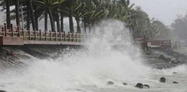
An earthquake measuring 6.9 on Sunday struck Indonesia off the coast of Indonesia, the US Geophysics Institute said, prompting a warning of the tsunami, causing panic among residents and forcing them to flee their homes.
The institute said the quake was recorded at a depth of 24 km, and was determined in the Sea of ​​Kings between northern Sulawesi and northern kings, while the Indonesian Geophysics Agency issued a warning of the tsunami.
There were no reports of damage or injuries, but residents of Ternate in the northern Kings region spoke of panic triggered by the quake.
"I was more important to sleep when the window started to vibrate," Bodi Norgianto told AFP.
"The earthquake was strong, I fled from my house and all my neighbors fled," he said.
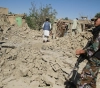
The US Geophysics Institute warned of the risk of major damage, particularly in buildings that are structurally weak or underdeveloped.
Indonesia is one of the world´s most vulnerable to natural disasters. The archipelago originated from a tectonic plateau and is located on the Pacific Ring of Fire, a region of strong seismic and volcanic activity.
On 26 December 2004, a violent earthquake measuring 9.1 in the Aceh province in the far west of the Indonesian archipelago caused a massive tsunami throughout the Pacific Ocean, resulting in some 168,000 deaths.
The devastating earthquake was the third strongest quake recorded since 1900, causing the ocean floor to rise to some 15 meters in some areas.
Last year, a 7.5-magnitude earthquake, followed by a tsunami in Palau on Sulawesi island, killed more than 2,200 people and left thousands dead.