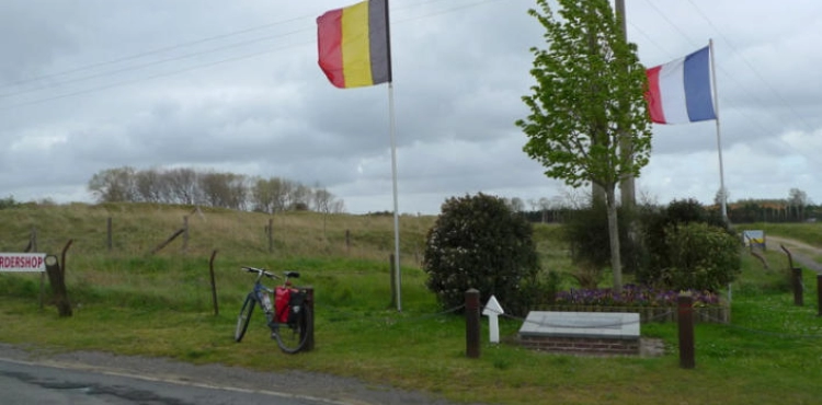
A Belgian amendment owns land adjacent to the border with France, finally the location of a rocky mass that was located specifically at the point between the two countries, which practically led to the displacement of the country´s borders drawn according to an international treaty dating back to 1820.
In a call with Agence France-Presse, David Laveau, mayor of Erkeleyn, where the landowner resides, confirmed the information reported in local media in northern France.
The Belgian, who recently owned several hectares on the border of the French Bouzigny Forest, wanted to take advantage of the apparent silence of the place to expand his land, according to the mayor.
"A distance of two meters by 20 centimeters makes the mass of his land, without a doubt," said David Laveau.
He added, "What he did not expect is that this block was geographically limited with great precision in 2019. So it was easy to prove that it was moved from its place."
This discovery took place about a month ago by Frenchmen who are fond of historical monuments related to the relationship between France and Belgium and the borders between the two countries.
The number "1819", symbolizing the year of its establishment, was engraved on this massif, with the letter "F" indicating the Kingdom of France on one side, and "N" (Nederland) on the other side to denote the Netherlands.
Belgium, which was founded in 1830, was not an independent kingdom at the time. After the defeat of Napoleon I in 1815 in Waterloo (south of Brussels), this land returned to the rule of the Dutch throne.
And in 1820, a treaty was signed in Courtaire (in the Dutch-speaking section of present-day Belgium) establishing this border demarcation between the two countries ... and it seems that it has withstood even this step by the farmer in Erklin.
But according to David Laveau, an appointment was quickly set with the owner of the land to get him to repair the damage at his own expense.


